Comprehensive Aerial Surveying, Photography, and Videography
Strategic Aerial Vision for Pennsylvania
For any aerial survey requirement across Pennsylvania, including advanced magnetometer and electromagnetic data acquisition, LiDAR scanning, and comprehensive GIS mapping, Pittsburgh Helicopter Charters offers an extensive suite of solutions. We leverage the inherent capabilities of helicopters for precise low-altitude flight and sustained hover, critical for detailed data collection. Additionally, we specialize in high-definition aerial cinematography and photography services, facilitating access to specialized camera mounts and configurations, including door-off operations for optimal field of view and handheld projects. Our comprehensive approach ensures unparalleled access to diverse technical solutions for high-definition aerial imaging throughout the Commonwealth.
Aerial
Surveys
LiDAR, GIS Maps, FLIR, HD Video & More
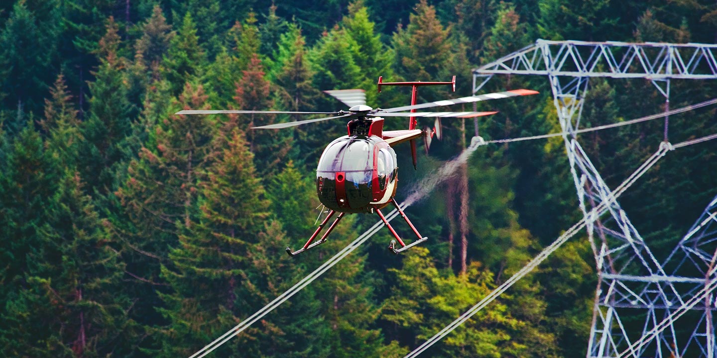
Pittsburgh Helicopter Charters provides critical support for diverse infrastructure projects, ranging from comprehensive pipeline surveys and Right-of-Way (ROW) inspections to meticulous transmission line patrols. We ensure access to the appropriate helicopter configurations and specialized equipment, facilitating the precise execution required for vital project completion across the Pittsburgh region and beyond.
High Tech Results
The Top Pilots in Pennsylvania, Today's Technology... Maximum Results.
Call 412-385-2777 Now!
Pittsburgh Helicopter Charters provides the tools needed to complete your land surveys, utilizing the right equipment to provide the aerial photos that are often needed.
Implementing a robust aerial survey significantly streamlines Right-of-Way (ROW) and site inspections, topographical data acquisition, and high-definition imagery capture for diverse commercial ventures. Helicopter-based surveys offer an unparalleled platform for comprehensive assessment of Pennsylvania's varied terrain, enabling precise pipeline leak detection, early identification of transmission line anomalies, and detailed video or photographic documentation of critical assets. Pittsburgh Helicopter Charters specializes in engineering bespoke photographic and remote sensing operations, meticulously customized to optimize technical specifications, financial efficiency, and overall project outcomes for our clients.
The inherent operational characteristics of a helicopter, specifically its capability for sustained low-altitude flight and reduced airspeeds, position it as the optimal platform for intricate aerial surveying. While fixed-wing aircraft are generally constrained by FAA regulations to maintain a minimum of 1,000 feet above the highest obstacle, helicopters can operate at significantly lower altitudes. This distinct advantage allows for close-proximity inspection of critical infrastructure and hazardous zones, providing engineers with an invaluable perspective and data acquisition capability that is otherwise inaccessible or unsafe using alternative methods.
There is no better way to conduct your visual survey, animal population counts, soil drainage analysis, ROW inspections, pipeline and transmission line inspections, and geographical surveys.

LiDAR Imaging
Light Detection and Ranging, or LiDAR, is a remote sensing method used to examine and measure Pennsylvania topography as well as objects, like vegetation, upon it.

Infrared Imaging
Thermographic IR cameras are used to detect radiation in the long-infrared range of the electromagnetic spectrum and produce images of that radiation, called thermograms.

HD Video Gimbal Capture
Modern HD and 4K cameras can be mounted to helicopters, using the proper STCs, with a gimbal to stabilize photos & videos for detailed results.
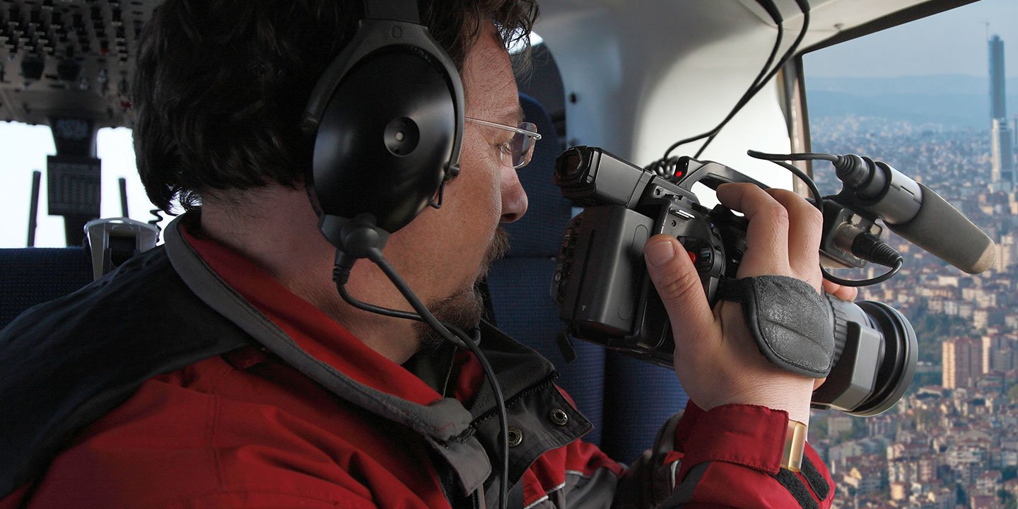
Precision Aerial Filming and Professional Cinematography
For expert camera work in the Pittsburgh Sky
Get a Fast, free QuotePittsburgh Aerial Cinematography
Pittsburgh Helicopter Charters provides comprehensive access to advanced resources essential for professional-grade aerial cinematography across Pennsylvania. We facilitate custom production shoots utilizing a range of sophisticated gyro-stabilized camera mounts, including industry-standard systems such as Tyler Mounts, Wescam, Cineflex, Pictorvision, and SpaceCam. These are compatible with high-performance specialty cameras like Cineflex HD, RED Epic, Arri Alexa, and even cutting-edge 3D and experimental camera systems. Our support extends to all facets of your production goals, from precise air-to-air sequences to dynamic ground-to-air perspectives. We ensure a collaborative approach, aligning helicopter operations with the vision of aerial Directors of Photography and production directors to achieve desired visual outcomes. Specializing in helicopter platforms for both still and motion photography, Pittsburgh Helicopter Charters supports nearly every media-related operation within Pennsylvania. This includes feature film production, television series, documentary filmmaking, promotional video creation, commercial advertising, aerial prop deployment, critical relief work for television networks, and extensive coverage of historical events and major sporting spectacles, all facilitated by a diverse selection of suitable helicopters.
Call Us Today at 412-385-2777 for a Free Quote
Contact Us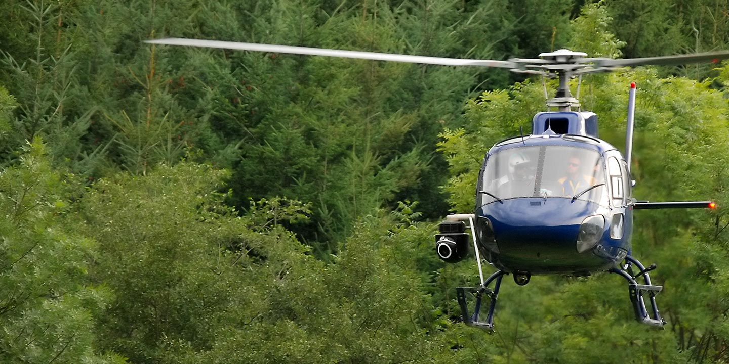
Aerial Photos
Hand-held or Mounted OpTions in Pittsburgh
We will help you get the right equipment for your aerial photography project! Call 412-385-2777 today to get a fast, free quote.
The Most Options for Photography
Pennsylvania’s diverse landscapes offer unparalleled photographic opportunities, optimally captured from an aerial perspective. Pittsburgh Helicopter Charters designs aerial photography charters to deliver precise visual documentation, assisting clients in achieving their specific creative or technical imaging objectives. We are committed to providing cost-effective photographic solutions throughout the Commonwealth. Many helicopter configurations allow for door removal, accommodating handheld photographic projects that demand an unobstructed field of view. For enhanced stability and precision capture, we also facilitate access to advanced gyro-stabilized camera mounts. We encourage direct consultation to discuss these technical options and tailor a solution that meets your project's exacting demands.
Superior Service
Every one of our customers gets a dedicated helicopter expert to assist with flight plans, tech loadouts, production logistics, project schedules, and other demands.
Over 500 Aircraft
Our network of direct air partners extends well beyond Pittsburgh, Pennsylvania. This allows us to offer a wide range of solutions for even the most sophisticated projects.
The Best Equipment
From high-tech sensors like LiDAR, FLIR, and GIS to HD cameras and movie production gimbals, we're here to make your job as easy as possible.